


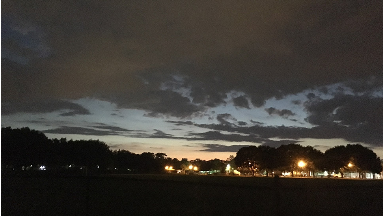
ORLANDO, Fla. — After some scattered showers in the evening, quiet conditions will return for the overnight.
- Cold front moving in Sunday
- Temps in the upper 70s, low 80s
- CURRENT CONDITIONS: Temperatures, heat indexes, trends
- TRACKING THE TROPICS: Formation potentials, Atlantic and Gulf satellite loops, typical storm tracks per month
- SEE BELOW: See our 7-day forecast ▼
Expect a few clouds across the area, with morning lows in the low 70s.
Big changes are still in store for Sunday. A strong cold front will quickly push through the area in the early morning, resulting in cooler and less humid conditions. Highs will only be in the upper 70s and low 80s, but it will be breezy in the afternoon.
The pleasant weather continues to start next week. Expect partly cloudy skies on Monday, with comfortable highs in the low 80s. With limited moisture around, no rain chances are expected.
- View LIVE Interactive StormTracker 13 Radar Map
- View our LIVE Sky 13 Weather Cameras
- Sign up for Severe Weather Alerts
Tropical moisture does slowly return by midweek. This will result in more humidity and some scattered showers. Rain chances will hold around 30% both Tuesday and Wednesday. Highs both days will be in the mid-80s.
Even more moisture moves in for Thursday and Friday. This will increase rain chances further and also bring us a partly sunny to mostly cloudy skies. Highs both days will be in the low 80s.
Another strong cold front is on track to move in next weekend. Early indications are this front could drop temps into the 70s by next Sunday.
Tropical Update
Things remain quiet this weekend in the tropical Atlantic. There is no activity in the Gulf, the Caribbean or the open waters of the Atlantic.
No major activity is expected over the next five days.

We want your pictures!
Show us what the weather looks like in your neighborhood. Your photo could end up on Spectrum News 13.
- Get the Spectrum News 13 app for iOS or Android
- Tap "Submit Content" at the bottom of the app menu
- Remember to include your name and location