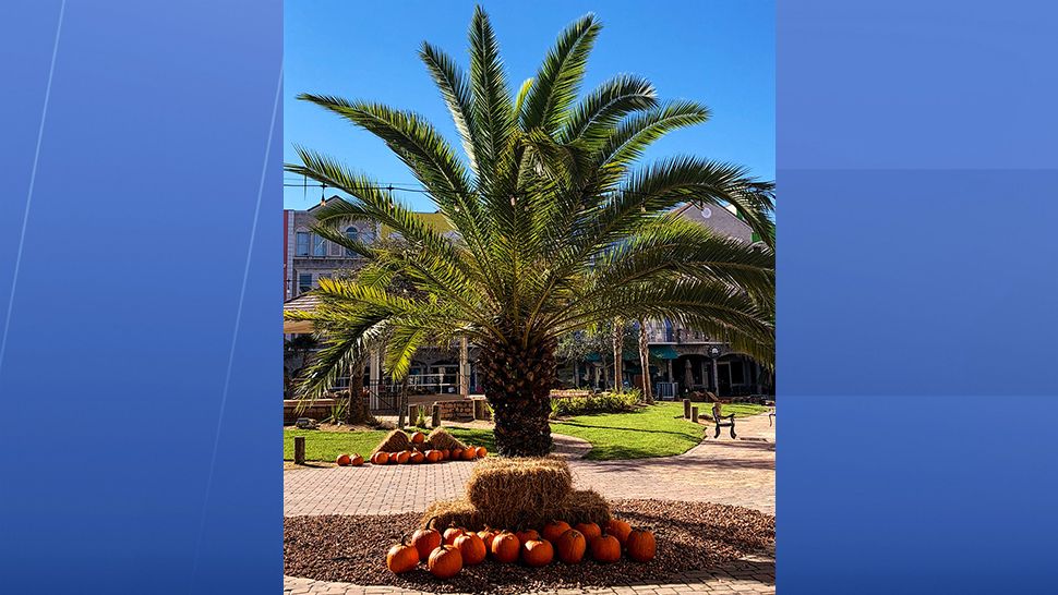
ORLANDO, Florida — It felt more like summertime here in Central Florida as our temperatures climbed close to record territory Monday.
- More above average high temps
- CURRENT CONDITIONS: Temperatures, heat indexes, trends
- TRACKING THE TROPICS: Formation potentials, Atlantic and Gulf satellite loops, typical storm tracks per month
- SEE BELOW: See our 7-day forecast ▼
A sprawling area of high pressure over the western Atlantic is providing us a southeast flow and near record warmth, and our pattern doesn’t look much different the next couple days.
Anticipate ample sunshine and highs running five to nearly 10 degrees above average both Tuesday and Wednesday. We’re typically in the mid-80s this time of year, but can expect to top out in the upper 80s and lower 90s.
As a weak front slips into the area Thursday, our wind will come more out of the northeast and drag deeper moisture across the peninsula. This will lead to a slight shower chance, but temperature remain close to 90.
- View LIVE Interactive StormTracker 13 Radar Map
- View our LIVE Sky 13 Weather Cameras
- Sign up for Severe Weather Alerts
Onshore moving showers and thunderstorms become more numerous Friday, so we’ve bumped coverage to 40 percent. More clouds and scattered showers will drop our highs back into the low to mid-80s with breezy conditions to round out the week.
We’ll keep a low 20 to 30 percent coverage on rain and rumbles into the weekend with highs in the mid to upper 80s.
Tuesday surf conditions will start out poor to occasionally fair, but will trend poor as we progress into the afternoon. A small east to east-southeast swell and wave heights of only one to two feet won’t be too good for those of you hoping grab a board.
Tropical Update
In the tropics, mainly quiet conditions right now across the Atlantic basin, with one area being monitored in the southern Caribbean.
An area of low pressure is trying to organize and could become a tropical depression Tuesday before pushing over Central America. This system is not a threat to the U.S.
Hurricane season runs through November 30.

We want your pictures!
Show us what the weather looks like in your neighborhood. Your photo could end up on Spectrum News 13.
- Get the Spectrum News 13 app for iOS or Android
- Tap "Submit Content" at the bottom of the app menu
- Remember to include your name and location


