


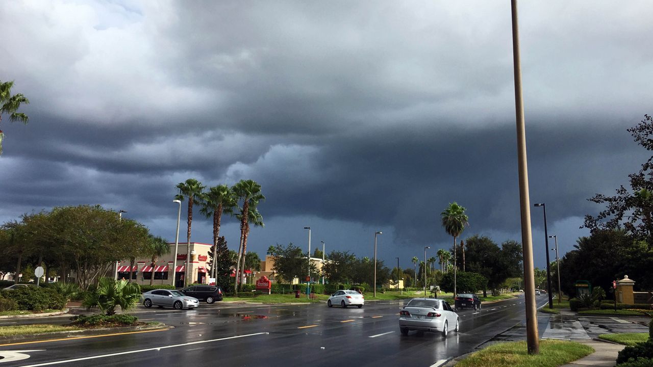
ORLANDO, Fla. — We’ve had on and off showers all day as tropical moisture and squalls around Michael continue to filter into Central Florida.
- Tuesday sees high temps at 87 degrees
- CURRENT CONDITIONS: Temperatures, heat indexes, trends
- TRACKING THE TROPICS: Formation potentials, Atlantic and Gulf satellite loops, typical storm tracks per month
- SEE BELOW: See our 7-day forecast ▼
The chance for heavy rain and gusty wind will stick around overnight under mostly cloudy skies. Temperatures will fall into the mid to upper 70s.
Wednesday morning temperatures will start out in the 70s. Rain coverage increases back up to around 70 percent as tropical moisture from Hurricane Michael sends additional bands of rain into Central Florida.
It will still be warm even with the breeze Wednesday, as temperatures climb back into the low 90s. Overnight temperatures will drop back into the 70s once again for Thursday morning.
- View LIVE Interactive StormTracker 13 Radar Map
- View our LIVE Sky 13 Weather Cameras
- Sign up for Severe Weather Alerts
As Michael quickly advances toward the panhandle and travels inland Wednesday, it will get caught up with a cold front. That front will eventually swing through Central Florida later this week with a slight drop in humidity, but temperatures will remain hot.
Expect readings to remain at or just above the seasonal average, in the upper 80s. Plenty of sunshine and low rain chances are anticipated through the weekend.
High Surf Advisory remains in effect, along with a very high rip current risk. Small Craft Advisory in effect through 4pm Thursday.
Tropical Update
In the tropics, we continue to monitor the track of Hurricane Michael.
We are keeping our eyes on Tropical Storm Leslie and Tropical Storm Nadine, although they pose no threat to the United States at this time.

We want your pictures!
Show us what the weather looks like in your neighborhood. Your photo could end up on Spectrum News 13.
- Get the Spectrum News 13 app for iOS or Android
- Tap "Submit Content" at the bottom of the app menu
- Remember to include your name and location