


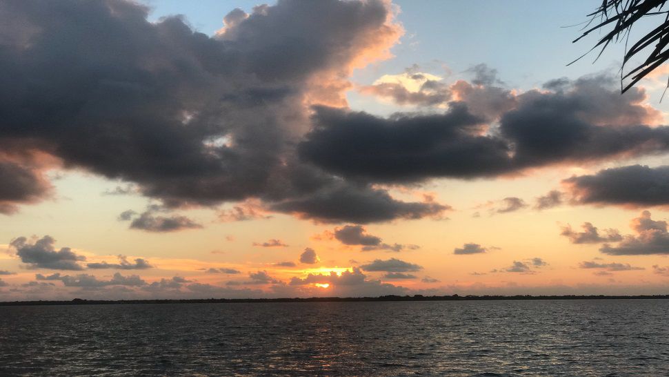
ORLANDO, Fla. — Scattered coastal showers have continued this evening and more activity is likely for the overnight.
- Lows in the mid-70s overnight
- Temps back in the 90s Monday
- CURRENT CONDITIONS: Temperatures, heat indexes, trends
- TRACKING THE TROPICS: Formation potentials, Atlantic and Gulf satellite loops, typical storm tracks per month
- SEE BELOW: See our 7-day forecast ▼
The best chance for rain will be east of I-95, and some showers will likely impact the morning commute. Overnight lows will be in the mid-70s.
We will start off Monday with temperatures in the mid-70s and a chance for an isolated shower. Into Monday afternoon, temperatures will warm back up to the upper 80s, low 90s and an isolated storm will become possible.
Moving through the week, there will be an increased chance for rain. For Tuesday and Wednesday, rain coverage is around 60%. Temperatures for both days max out around the mid-to-upper 80s.
Towards the end of the week, we are still expecting rain chances around 60 percent, high temperatures in the upper 80s and low temperatures in the mid-70s.
Next weekend is still expected to be warm, with high temperatures around 90, but the rain chances drop to 20-30 percent.
- View LIVE Interactive StormTracker 13 Radar Map
- View our LIVE Sky 13 Weather Cameras
- Sign up for Severe Weather Alerts
Tropical Update
Tropical Storm Michael continues to strengthen in the Caribbean. The general motion of Tropical Storm Michael is to the north. It is likely that it will become a hurricane by Monday to Tuesday, with a possible landfall in the Florida Panhandle. We will continue to monitor its progress as it is possible to make landfall along the central U.S Gulf Coast.
Tropical Storm Leslie is still meandering in the Atlantic, but does not pose a threat to land at all.

We want your pictures!
Show us what the weather looks like in your neighborhood. Your photo could end up on Spectrum News 13.
- Get the Spectrum News 13 app for iOS or Android
- Tap "Submit Content" at the bottom of the app menu
- Remember to include your name and location