


ORLANDO, Fla. — Not a bad start to our Wednesday with temperatures for most in the low 70s and even parts of Marion County in the upper 60s.
- CURRENT CONDITIONS: Temperatures, heat indexes, trends
- TRACKING THE TROPICS: Formation potentials, Atlantic and Gulf satellite loops, typical storm tracks per month
- SEE BELOW: See our 7-day forecast ▼
We’ve seen plenty of sunshine all day and only a few passing showers. A coastal shower will continue to be possible overnight, but most will be quiet with low rain chances sticking around through the weekend. Highs stay slightly above average at around 90 degrees.
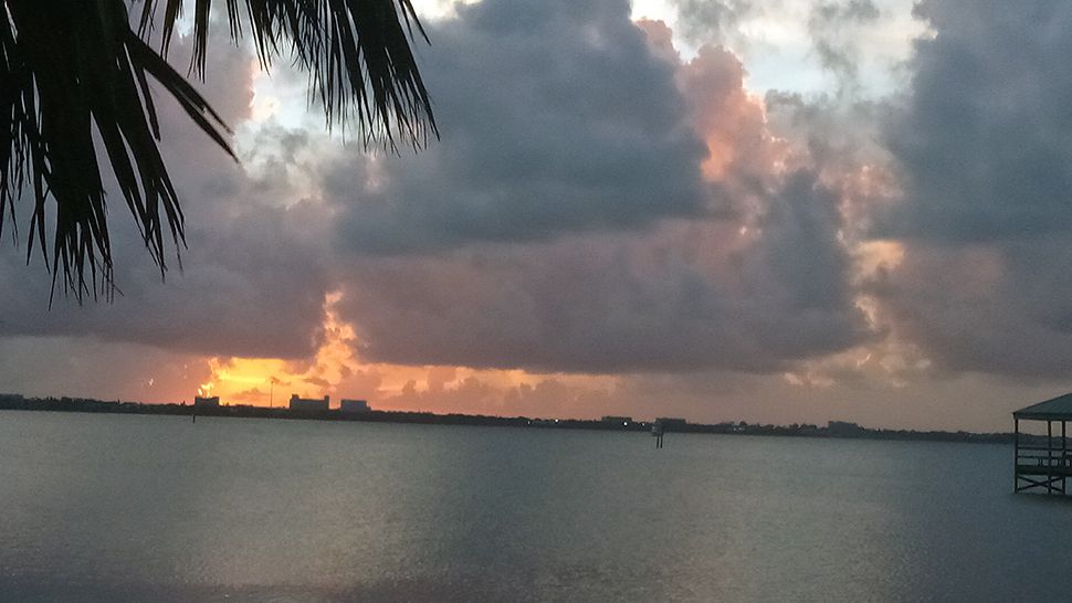
Partly cloudy skies are in the forecast through the overnight hours with a stray coastal shower possible. Lows will fall into the mid to low 70s with a few spots dropping into the upper 60s.
Lots of sunshine to start our Thursday, although there may be a few passing clouds from time to time. The potential for rain is low, but a few showers moving quickly west will still be possible. Temperatures will climb into the upper 80s to low 90s.
- View LIVE Interactive StormTracker 13 Radar Map
- View our LIVE Sky 13 Weather Cameras
- Sign up for Severe Weather Alerts
Rain chances drop even more for Friday and into the start of our weekend before picking back up early next week. No change in temperatures expected through Saturday, then more seasonably conditions next week.
Ocean conditions still remain rough due to a long distance swell from Leslie well to our east. There is a Small Craft Advisory in effect, along with a high rip current risk.
Tropical Update
In the tropics, Leslie strengthened to a hurricane Wednesday morning. Leslie is now moving to the north and will start to weaken heading toward the weekend.
Leslie is not threat to the United States other than indirect rough ocean conditions.
There is also a cluster of thunderstorms in the western Caribbean that has a small chance for tropical formation.
Hurricane season runs through Nov. 30.

We want your pictures!
Show us what the weather looks like in your neighborhood. Your photo could end up on Spectrum News 13.
- Get the Spectrum News 13 app for iOS or Android
- Tap "Submit Content" at the bottom of the app menu
- Remember to include your name and location