


ORLANDO, Fla. — Skies will clear out some overnight, and most areas will be partly cloudy with temperatures dropping back into the low to mid 70s.
- Scattered storms Tuesday afternoon
- High temps Tuesday at 90 degrees
- SEE BELOW: See our 7-day forecast ▼
The easterly onshore wind will continue overnight and early Tuesday morning.
Scattered showers and thunderstorms return for Tuesday afternoon. Like the past few days, the storm coverage will not be widespread and the storms will increase in coverage by midday from east to west.
There will be a chance for some light to moderate rain to begin Tuesday morning along the East Coast. Areas along I-95 and eastward may need the rain gear for the commute into work and school.
The rain chance will then shift into the interior by lunchtime and into the early afternoon. Storm chances and coverage will increase west of I-95 during the afternoon. Places like Sanford, Orlando and Kissimmee may then need the rain gear by the afternoon and for the commute home.
Storms will continue to move in a generally westward direction into the early evening and push toward the I-75 corridor for the evening commute. Storms and showers will fade by sunset.
Afternoon temperatures will reach the mid to upper 80s along the coast and the lower 90s inland.
- View LIVE Interactive StormTracker 13 Radar Map
- View our LIVE Sky 13 Weather Cameras
- Sign up for Severe Weather Alerts
The weather setup then changes a bit for the middle of the week. Drier air will be ushered in around an area of low pressure off the East Coast of the U.S. This will cut the coverage of storms down to 30 percent for the middle of the week.
There will still be some afternoon storms so don’t put the rain gear away just yet! There just will be fewer neighborhoods seeing the rain.
Stepping out the door for work and school during the morning will be fairly comfortable with temperatures starting out in the low to mid 70s. Afternoon temperatures will then climb into the upper 80s along the coast and lower 90s inland.
The drier air will stick around for the upcoming weekend. This drier pattern will cut the storm coverage down even further to 20 percent for Saturday and Sunday. The lower coverage of storms for the weekend means it will be pretty nice to get outside and enjoy.
Temperatures will still be a bit hot, but close to the seasonal averages. Morning temperatures will be in the 70s, they’ll then warm into the upper 80s and lower 90s.
The surf forecast for Tuesday calls for fair to poor surfing conditions. There will be an east-northeast swell mix with 3 to 4 foot plus waves. The rip current risk is still moderate so it is best to swim within the sight of a lifeguard and use extreme caution in the waters. Ocean water temperatures are in the low to mid 80s.
Tropical Update
The tropics are active once again. We continue to monitor the remnants of Kirk. Kirk dissipated early Monday morning, but there is a 50% chance its remnants could redevelop as it nears the Lesser Antilles over the next 5 days. Forecast models continue to show this system struggling to redevelop, however.
There is an area of low pressure between Bermuda and the Bahamas that still has a 50% chance of development in the next 48 hours. If it develops it would likely be a weak tropical system. Right now, the forecast calls for this disturbance to graze the Carolinas with rain, rough surf and wind. But, it will quickly curve back out to sea.
Subtropical Storm Leslie continues to sit in the north-central Atlantic. This system will not pose a threat to any land and it will continue to remain a fish storm.
As of right now, there are no threats to Florida.

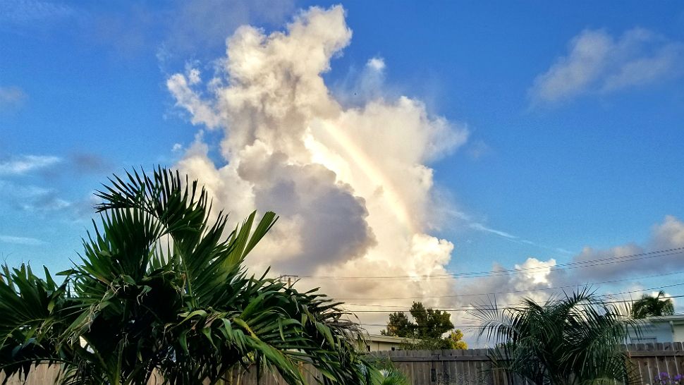
We want your pictures!
Show us what the weather looks like in your neighborhood. Your photo could end up on Spectrum News 13.
- Get the Spectrum News 13 app for iOS or Android
- Tap "Submit Content" at the bottom of the app menu
- Remember to include your name and location