


ORLANDO, Fla. — We’re continuing to track a lot of tropical activity, especially powerful Hurricane Florence churning up the Atlantic waters and taking aim on the Carolinas later this week.
Category 4 hurricane Florence will send decent-sized swells and a high rip-current risk along our east coast all week, but the biggest concerns are for our friends in the Carolinas.
- Dangerous ocean conditions on east coast
- Wave heights to climb as Florence nears
- Weather FAQ: Why are rip currents dangerous?
- TRACK THE TROPICS: Formation potentials, satellite loops, typical storm tracks
- SEE BELOW: See our 7-day forecast ▼
Unfortunately, models bring this storm into the coast late Thursday night, then hang it up for a few days. Exceptional amounts of rain will lead to major flooding concerns, especially north of the center of circulation.
Locally, high pressure is sitting over the state allowing a light steering flow at the surface. Daily rain coverage remains at 40 percent Tuesday with activity developing along our sea breezes once again.
By Wednesday and into the weekend, drier air wraps around Florence and encompasses our area.
We’ll bring rain and rumble coverage to 30 percent right through Sunday.
Highs over the next seven days climb just slightly above seasonable levels in the low 90s, with a feels like temperature in the mid to upper 90s.
- View LIVE Interactive StormTracker 13 Radar Map
- View our LIVE Sky 13 Weather Cameras
- Sign up for Severe Weather Alerts
Use extra caution if planning a beach trip as swells from Hurricane Florence create dangerous ocean conditions along our east coast.
We may see fair surfing conditions the next couple of mornings, but poor to fair conditions in the afternoon as the waves get mushed up a bit.
Wave heights are forecast to be around two to three feet and slightly higher at times. These will climb as Florence nears.
The rip current threat stays high all week, so heed any lifeguard warnings. As far as our local forecast, rain chances are expected to drop quite a bit in the next few days as temperatures stay hot.
Tropical Update
The tropics are top of mind tonight as we reflect on the one-year anniversary of Hurricane Irma and look into a very busy tropical landscape at this time.
Powerful Hurricane Florence is churning up the Atlantic waters and taking aim on the Carolinas later this week. Swells from Florence have made it to Florida, creating dangerous swimming conditions.
Helene is a fish storm at this time, and Isaac continues drifting west toward the Lesser Antilles.
Atlantic hurricane season peaks in September and runs through Nov. 30.

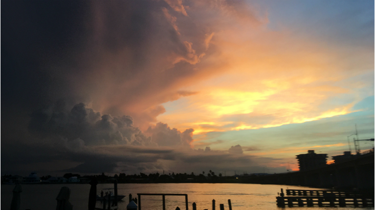
We want your pictures!
Show us what the weather looks like in your neighborhood. Your photo could end up on Spectrum News 13.
- Get the Spectrum News 13 app for iOS or Android
- Tap "Submit Content" at the bottom of the app menu
- Remember to include your name and location