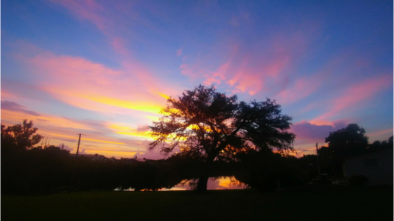
ORLANDO, Fla. — Tropical Storm Gordon is chugging through the Gulf and heading toward a landfall tonight somewhere near Biloxi, Mississippi.
- Scattered storms will taper off
- Partly cloudy overnight
- TRACK THE TROPICS: Formation potentials, satellite loops, typical storm tracks
- SEE BELOW: See our 7-day forecast ▼
Scattered storms across Central Florida will taper off Tuesday night.
Skies will be partly cloudy overnight with temperatures dipping back into the 70s for Wednesday morning.
There will be fewer storms for Wednesday afternoon as drier air punches into the region. This drier air will cut storm chances down to 40 percent.
High temperatures will be in the lower 90s inland and upper 80s along the coastline. “Feels-like” temperatures will be near 100 degrees. Temperatures will start out in the 70s for Wednesday morning.
- View LIVE Interactive StormTracker 13 Radar Map
- View our LIVE Sky 13 Weather Cameras
- Sign up for Severe Weather Alerts
Moisture will increase for the end of the week and an upper-level disturbance will track over Florida for Friday. This will increase storm coverage to 60 percent for the end of the week.
High temperatures for Thursday and Friday will stay in the upper 80s and lower 90s with overnight temperatures falling back into the 70s.
The surf and boating forecast for Wednesday: There will be a chance for a few showers. Surfing conditions will be fair to poor. Wave heights will be 1-2 feet. The rip current risk is moderate so it is best to swim near a lifeguard.
Ocean water temperatures are in the low to mid 80s. The UV Index is at a 10 for Wednesday afternoon.
If you’re doing any boating, winds will be out of the E 10-15 knots. Seas will be 3-4 feet with a moderate chop on the intracoastal.
Tropical Update
The tropics remain active with two named systems, neither posing a direct threat to Florida. Tropical Storm Gordon is aiming for the central Gulf Coast and Tropical Storm Florence remains over open Atlantic water.
Gordon will move onshore between Louisiana and the Northern Panhandle of Florida tonight. It will not have any impacts on Central Florida.
We continue to monitor Hurricane Florence. It is in the open waters of the Atlantic and it continues to move toward the west. This will stay in the open waters of the Atlantic through the end of the week.
Indications are that Florence will veer towards the west and northwest. It is looking more likely that will not impact Florida or the U.S. Coastline.
Another tropical wave has come off the coast of Africa. This tropical wave has high chance of developing into a tropical system in the coming days.
Atlantic hurricane season peaks in September and runs through Nov. 30.

We want your pictures!
Show us what the weather looks like in your neighborhood. Your photo could end up on Spectrum News 13.
- Get the Spectrum News 13 app for iOS or Android
- Tap "Submit Content" at the bottom of the app menu
- Remember to include your name and location


