


ORLANDO, Fla. — Only a few isolated showers and storms to end our work week as temperatures warmed to around 90 degrees.
- The high for Friday will be 91 degrees
- Lower storm chances expected
- TRACK THE TROPICS: Formation potentials, satellite loops, typical storm tracks
- SEE BELOW: See our 7-day forecast ▼
The slightly drier air will be overtaken by deep tropical moisture this weekend and help to ramp rain chances back up, especially by Labor Day and into Tuesday.
Highs will stay in the upper 80s to low 90s with overnight lows in the mid-70s.
Partly cloudy skies are in the forecast through the overnight hours. Temperatures will be mild and muggy, falling into the mid-70s.
Some sunshine and quiet conditions will start out our Saturday. We can’t rule out a stray coastal shower early, but most will be dry through lunch.
Scattered showers and storms will develop in the afternoon as the east coast sea breeze moves west. Not a complete washout, but some heavy rain and lightning will be possible.
- View LIVE Interactive StormTracker 13 Radar Map
- View our LIVE Sky 13 Weather Cameras
- Sign up for Severe Weather Alerts
A tropical wave will move over Central Florida early next week and into the Gulf.
This wave will be responsible for increasing moisture and the chance for rain. It will also bring some breezy winds and slightly lower temperatures.
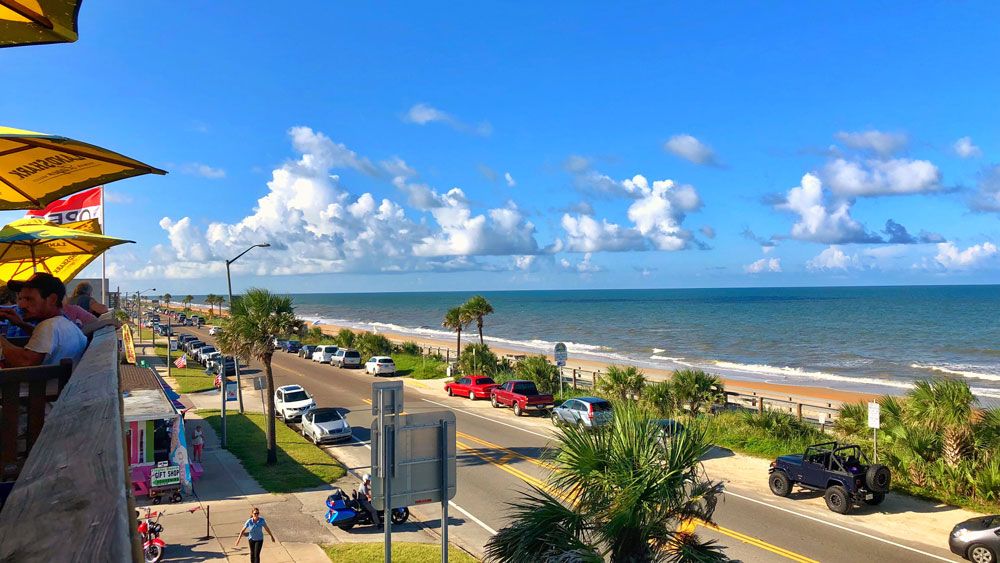
Ocean conditions look favorable through the holiday, but there are some concerns. Watch for developing storms and make sure to take the sunscreen!
Tropical Update
In the tropics, the tropical wave near Hispaniola will bring us some moisture early next week and then move into the Gulf. This is where there is a low chance for tropical formation as it moves toward the Gulf Coast.
Also, south of the Cabo Verde Islands, we now have Tropical Depression Six. This system may strengthen more over the weekend, but is expected to stay well away from the United States.
Atlantic hurricane season peaks in September and runs through Nov. 30.

We want your pictures!
Show us what the weather looks like in your neighborhood. Your photo could end up on Spectrum News 13.
- Get the Spectrum News 13 app for iOS or Android
- Tap "Submit Content" at the bottom of the app menu
- Remember to include your name and location