


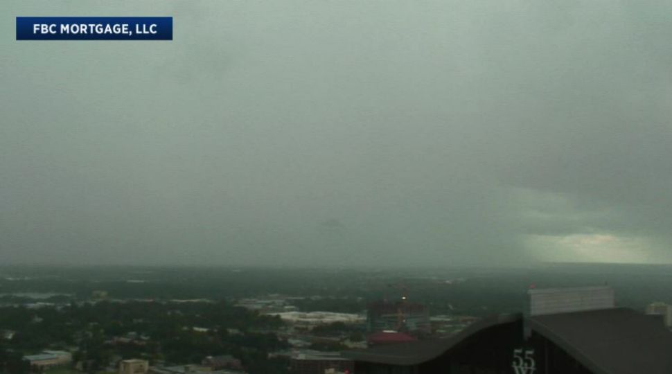
ORLANDO, Fla. — Severe thunderstorm warnings were issued for parts of Central Florida on Tuesday afternoon as heavy downpours moved west.
- Severe thunderstorms Tuesday afternoon
- Tuesday's highs at 90 degrees
- SEE BELOW: See our 7-day forecast ▼
Temperatures warmed quickly Tuesday, reaching the low 90s before showers and storms fired up.
With easterly wind, the east coast sea breeze set up right before lunch and started to move west. This helped to spark scattered storms, some of which held frequent lightning and gusty wind.
No change is expected for Wednesday with afternoon storms and hot temperatures continuing.
A lot of the rain will move west and wind down early. The rest of the night will be partly cloudy as temperatures fall into the mid to upper 70s.
- View LIVE Interactive StormTracker 13 Radar Map
- View our LIVE Sky 13 Weather Cameras
- Sign up for Severe Weather Alerts
Partly sunny skies to start out Wednesday as temperatures heat back into the low 90s. We will see showers and storms starting around lunch and becoming widespread throughout the afternoon.
Some of the storms hold the potential to be strong. The majority of the activity should wind down around sunset. A similar setup is in store for the rest of the week.
Watch for lightning is heading to the beach or out on the boat. Otherwise, favorable ocean conditions with a light chop and low rip current threat.
Tropical Update
In the tropics, a tropical wave will be moving off of the African coast and into the Atlantic in a few days. This wave has a low chance to become tropical as it moves west.
The Pacific is active with Tropical Storm Miriam and another storm likely to form behind it. Hurricane season peaks in September and runs through Nov. 30.

We want your pictures!
Show us what the weather looks like in your neighborhood. Your photo could end up on Spectrum News 13.
- Get the Spectrum News 13 app for iOS or Android
- Tap "Submit Content" at the bottom of the app menu
- Remember to include your name and location