


ORLANDO, Fla. — Another scorcher for our Friday afternoon as temperatures quickly climbed into the mid to low 90s.
- Hot weekend ahead
- Lowering rain chances
- Ernesto update
We had a few passing clouds throughout the afternoon, but drier air limited shower and storm development. Only some spotty activity along the east coast sea breeze as it moved west.
We’ll stay pretty dry this weekend with temperatures even hotter.
Mostly clear skies are in the forecast through the overnight hours. Temperatures will be mild, falling into the mid-70s.
Lots of sunshine for the start of our weekend with high temperatures in the mid-90s inland and low 90s along the coast. Most will remain dry, but watch for a few spotty storms during the afternoon.
- View LIVE Interactive StormTracker 13 Radar Map
- View our LIVE Sky 13 Weather Cameras
- Sign up for Severe Weather Alerts
Some moisture tries to move back in on Sunday, increasing the chance for rain slightly, but only a 40 percent possibility. It’s not until mid-week of next week that we’ll really see a decent increase in afternoon storms. Temperatures stay in the 90s.
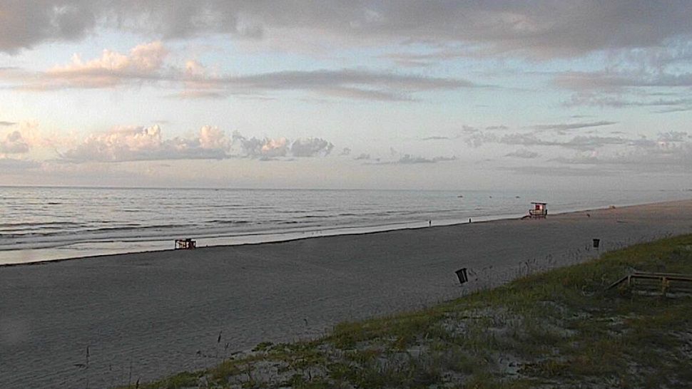
If heading to the beach or out on the boat to beat the heat, there will be favorable conditions the next couple of days. Just watch for an isolated storm and grab the sunscreen!
Tropics
In the tropics, Ernesto is moving quickly over cooler waters and will continue to weaken.
The tropical wave in the southern Atlantic struggled Friday as it moved closer to the Lesser Antilles and now has no chance for tropical development. No tropical formation is expected in the next five days.
The Atlantic Hurricane Season lasts through Nov. 30, 2018.

We want your pictures!
Show us what the weather looks like in your neighborhood. Your photo could end up on Spectrum News 13.
- Get the Spectrum News 13 app for iOS or Android
- Tap "Submit Content" at the bottom of the app menu
- Remember to include your name and location