


ORLANDO, Fla. -- It was another active day across Central Florida, with storms redeveloping in the early evening.
- Tracking more storms Sunday
- Work week warmth on the way
- SEE BELOW: See our 7-day forecast ▼
Expect a few clouds overnight, with warm lows in the mid 70s.
Showers and storms are again likely for Sunday. A more southerly flow will develop, which will result in the storms primarily in the afternoon and early evening hours. Highs for Sunday will be in the low 90s.
Some slightly drier air will move in for the first day of school for several counties Monday. The best chance for rain will be in the afternoon hours, with highs in the low 90s.
- View LIVE Interactive StormTracker 13 Radar Map
- View our LIVE Sky 13 Weather Cameras
- Sign up for Severe Weather Alerts
The scattered afternoon storms will continue heading into Tuesday, with highs in the low 90s.
Even more dry air marches in for the middle of next week, reducing rain chances further. Expect just a few widely scattered storms both Wednesday and Thursday with highs in the mid 90s.
There continue to be some indications that some very dry air will move in late next week. Rain chances will be minimal both Friday and next weekend, with highs soaring into the mid and upper 90s.
Boaters should again watch out for scattered showers and storms, with seas at 1 to 2 feet. Surfers will find flat conditions with minimal traces. If you're heading to the beach Sunday, the rip current threat will be moderate, with Atlantic water temperatures in the upper 70s to mid 80s.
Tropical Update
We continue to watch two areas of potential development. One area is between the Lesser Antilles and Africa, while the second system in pushing into the North Atlantic. Both systems are not a threat to land at this time and have a low chance of development.

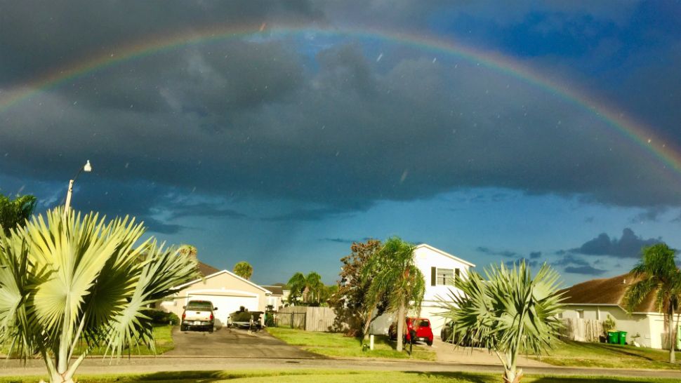
We want your pictures!
Show us what the weather looks like in your neighborhood. Your photo could end up on Spectrum News 13.
- Get the Spectrum News 13 app for iOS or Android
- Tap "Submit Content" at the bottom of the app menu
- Remember to include your name and location