


ORLANDO, Fla. — Highs were back into the low to mid-90s Thursday afternoon, with all of us popping above the century mark for a feel-like temperature.
- Friday high temps at 94 degrees
- Rain chances increase over weekend
- SEE BELOW: See our 7-day forecast ▼
High pressure situated to our south kept central Florida in a west to southwest flow again Thursday, although it wasn’t enough to hinder the inland movement of the east coast sea breeze.
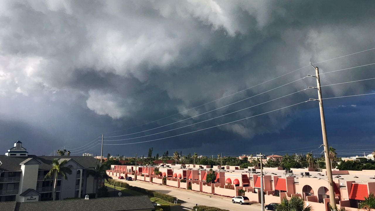
Boundary collisions led to another round of rain and rumbles in some neighborhoods. As they encountered the sea breeze, storms produced frequent lightning, gusty wind, and locally heavy rain.
The storms ended around sunset and it will be quiet heading toward daybreak.
The ridge will be suppressed to our south as a trough of low pressure digs out across the southeastern U.S. This will keep the eastern half of the peninsula in the favorable side for thunderstorms from Friday into the upcoming weekend.
- View LIVE Interactive StormTracker 13 Radar Map
- View our LIVE Sky 13 Weather Cameras
- Sign up for Severe Weather Alerts
We have rain chances at 40 percent Friday afternoon, then bump them to 50 percent Saturday through Monday.
Unfortunately for local surfers, a small east-southeast trade swell and waves of only one to two feet will create poor to very poor surfing conditions Friday.
We’ll have just enough of a long period swell to create a moderate rip risk as well, so use caution when swimming.
Tropical Forecast
In the tropics, Debby is falling apart in the northern Atlantic. No new development is forecast in the Atlantic basin over the next five to seven days.
The Atlantic hurricane season runs through Nov. 30.

We want your pictures!
Show us what the weather looks like in your neighborhood. Your photo could end up on Spectrum News 13.
- Get the Spectrum News 13 app for iOS or Android
- Tap "Submit Content" at the bottom of the app menu
- Remember to include your name and location