


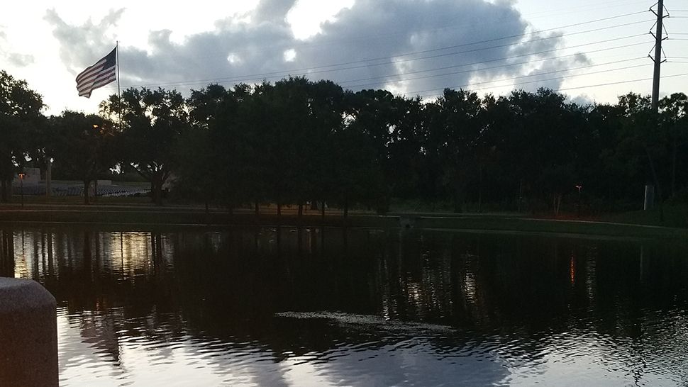
ORLANDO, Fla. -- It was a fairly quiet Sunday, with just a few widely scattered showers across the area.
- Partly cloudy skies
- Overnight lows in the mid-70s
- Warmer weather in the week ahead
- SEE BELOW: See our 7-day forecast ▼
We’ll see partly cloudy skies tonight with overnight lows in the mid-70s.
Warm and fewer storms describe this week ahead. Dry air lowers rain chances and allows temps to climb close to the mid 90s. Isolated activity will develop, but most areas will stay dry.
- View LIVE Interactive StormTracker 13 Radar Map
- View our LIVE Sky 13 Weather Cameras
- Sign up for Severe Weather Alerts
A copy and paste pattern continues for the Tuesday as storm coverage will be lower at 30 percent.
Highs will continue to remain warm in the low 90s.
Rain chances increase slightly at 40 percent for Wednesday with hit or miss storms. Highs remain in the low 90s.
Seasonable highs temps return for Thursday as rain chances continue to remain low at 40 percent.
Friday will be a copy and paste of Thursday with low rain chances and warm temps continuing.
The weekend will continue the pattern of low storm coverage with high temps in the low 90s.
Tropics: In the tropics, there’s a low chance a non-tropical low pressure system could develop some subtropical characteristics in the next 5 days, but this will not pose a threat to Florida or the U.S. This system is in the northeastern Atlantic and 1100 miles west, southwest of the Azores.

We want your pictures!
Show us what the weather looks like in your neighborhood. Your photo could end up on Spectrum News 13.
- Get the Spectrum News 13 app for iOS or Android
- Tap "Submit Content" at the bottom of the app menu
- Remember to include your name and location