


ORLANDO, Fla. -- Summertime brings afternoon storms to Central Florida, thanks to daytime heating and the collision of our east and west coast sea breezes.
- Unusual weather patterns reason for Central Florida storms
- Weather patterns more typical in fall or winter
- Pattern to change as we head into August
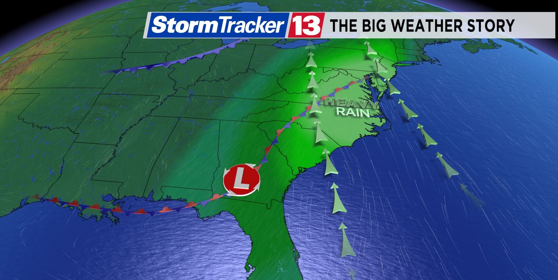
But an unusual weather pattern has set up across the Eastern seaboard, and this setup has brought enhanced thunderstorm coverage and even severe weather to Central Florida.
A big trough of low pressure or dip in the jet stream has set up across the East Coast.
This weather pattern is responsible for sparking numerous storms across Central Florida for late July, and it is a large part as to why there was severe weather across Central Florida this past Sunday.
This large dip in the jet stream is more typical of a fall or winter setup.
The trough of low pressure over the southeastern U.S. has been able to pull in tons of moisture from the Gulf of Mexico compared to normal.
This factor, combined with weather disturbances rolling through the base of the trough across the Gulf of Mexico and Florida, has led to increased storm coverage and a more favorable environment for severe weather to develop.
While Florida has experienced severe weather recently, the Mid-Atlantic region has been plagued with heavy rain leading to flooding issues in portions of Maryland, Virginia and the Carolinas.
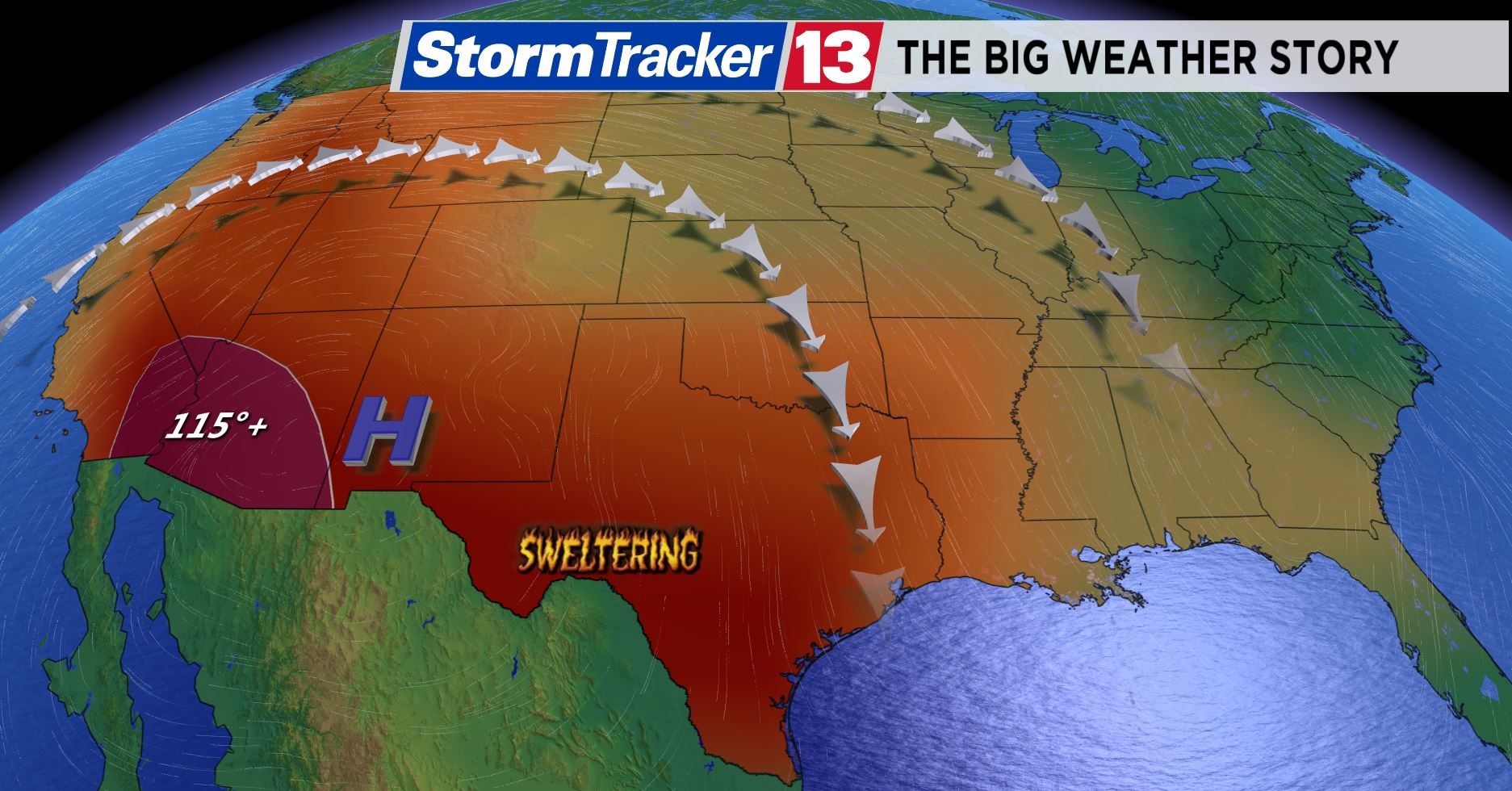
In order to balance this dip in the jet stream across the East Coast, there has been a huge ridge of high pressure along the West Coast.
This high pressure system in the West has been responsible for record heat in Texas and in parts of the southwestern U.S.
This pattern is set to change as we enter the final weekend of July and head into August.