


CENTRAL FLORIDA -- Very quiet evening as drier air will continue to dominate Central Florida for the next few days dropping rain chances.
- Lower rain chances
- Temperatures drops to mid 70s
- High temperature persist for the week
- SEE BELOW: See our 7-day forecast ▼
Fewer isolated storms and showers are a result of a high pressure system pushing in dry air to lower rain chances. The rain chances will stick around at 20 percent until we reach the weekend when moisture will return picking back rain chances to 40 50 percent.
Temperatures will drop into mid-70s for tonight with partly covered to clear skies. We will wake up around mid-70s and quickly increase to the low 90s with feel like temperatures creeping to the upper 90s for Tuesday.
For the rest of the week, hot temperatures will persist in the low 90s just slightly above seasonable. An overnight lows hovering in the low to mid-70s for the rest of the week.
- View LIVE Interactive StormTracker 13 Radar Map
- View our LIVE Sky 13 Weather Cameras
- Sign up for Severe Weather Alerts
Surf cast remains very poor for Tuesday. Rip current remains moderate, so it is always best to swim close to a lifeguard tower. The UV index remains high, so reapply sunscreen.
Swimmers in Volusia County beware, as the jellyfish sting count remains very high.
Tropical Update
In the tropics, a disturbance is in the western Gulf near Texas with a low chance of development.
The system will produce rain and wind for parts of Texas and Louisiana.
No threat to Florida.
Hurricane Season continues through Nov. 30.

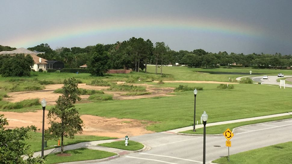
We want your pictures!
Show us what the weather looks like in your neighborhood. Your photo could end up on Spectrum News 13.
- Get the Spectrum News 13 app for iOS or Android
- Tap "Submit Content" at the bottom of the app menu
- Remember to include your name and location