


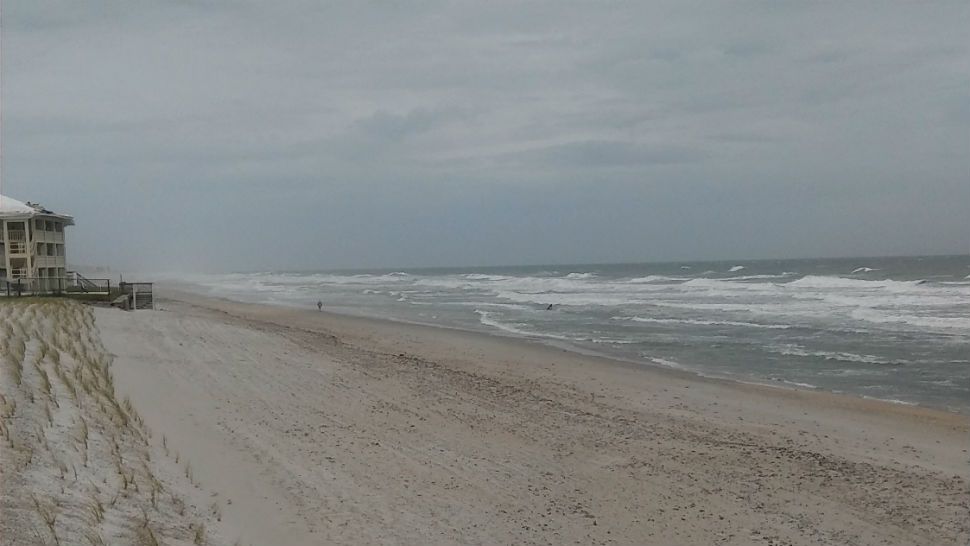
ORLANDO, Fla. -- After an unsettled Sunday, just a few showers moved through the area in the evening hours as Alberto lifts northward.
- Showers will persist
- Temps remain in the 70s
- Rainy Memorial Day ahead
- Latest on Alberto
The scattered showers will remain in the forecast overnight, with warm lows in the mid 70s.
Drier air is now expected to push into the area for Memorial Day. This will result in mostly cloudy skies but more scattered showers than earlier anticipated. Highs for the holiday will be in the mid 80s with again breezy conditions.
- View LIVE Interactive StormTracker 13 Radar Map
- View our LIVE Sky 13 Weather Cameras
- Sign up for Severe Weather Alerts
The rain chances continue heading into Tuesday. Expect partly sunny skies with scattered showers and possibly a few storms. Highs will be in the mid to upper 80s.
More dry air moves in for the back end of the work week. This will result in more sunshine and just a few PM showers and storms developing. Temps will warm in the upper 80s and low 90s.
Right now, next weekend looks warm with just a few PM storms to contend with. Highs will hold in the low 90s.
Tropical Update
Alberto continues its northward trek across the Gulf of Mexico. The system is anticipated to make landfall along the western Panhandle of Florida early on Monday. Tropical-storm force winds, heavy rainfall and tornadoes will be possible in the central and western Panhandle overnight and into Monday.

We want your pictures!
Show us what the weather looks like in your neighborhood. Your photo could end up on Spectrum News 13.
- Get the Spectrum News 13 app for iOS or Android
- Tap "Submit Content" at the bottom of the app menu
- Remember to include your name and location